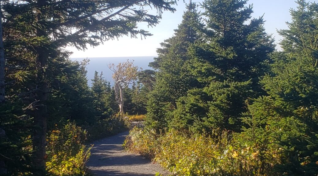
Cape Breton Highlands National Park
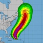
Hurricane Fiona moved through Atlantic Canada when I was in Halifax. Boo and I stayed safe in our AirBNB even if we were both worried and a little frightened with the wind and rain. Neither of us got much sleep Friday night from the noise. Our power went out around 2230 but was out for less than a day.
Cape Breton was harder hit, as was Prince Edward Island and Newfoundland. Power was restored to my rental in Ingonish before I arrived Wednesday after the storm but, unfortunately, the trails at Cape Breton National Park were closed and didn’t open again until the day before I was to leave.
Cabot Trail encircles most of the park, and all the trails and trailheads and parking are just off this road.
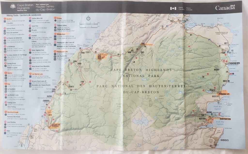
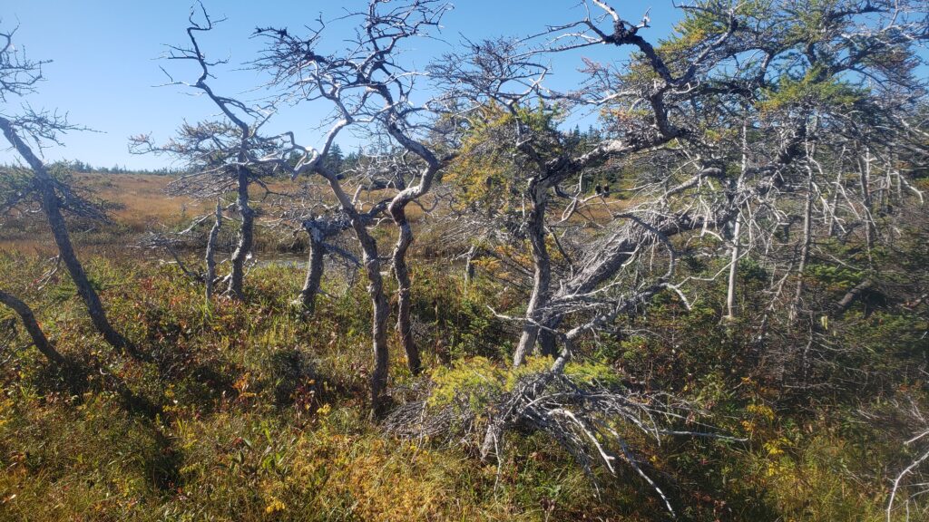
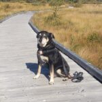
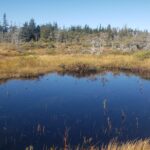
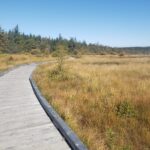
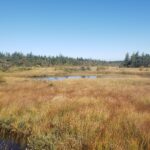
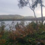
I had driven back and forth through the park during the week, enjoying the communities along the coast and the amazing views but they had a number of trails open Tuesday. I drove to Cheticamp, stopping to hike the short but beautiful Bog Trail on the way.
Several trails I had planned to hike, however, were still blocked off with large orange barrels. I continued to the visitor center and went in with my map. I asked, is it easier to tell me which trails are open or which are closed? They pulled off a map already highlighted with the open trails. Great! I am sure so much easier than answering that question several hundred times and they are probably continuing to highlight trails as they are opened.
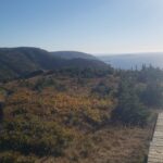
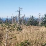
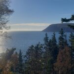
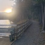
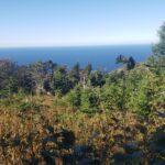
We continued down the coast, stopping for lunch, then doing the great Skyline Trail in the afternoon. This is a 7.8 kilometer trail through grasslands, boreal forest and along the cliffs overlooking the ocean. Gorgeous. Dogs are not allowed on this trail so Boo had to stay in the car, and I left the windows down with my mesh screen covers for him while I hiked this trail. Very flat, easy path with great views.
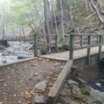
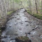
After finishing up, we headed back to the southern shore but stopped late afternoon to do the 1.7 kilometer MacIntosh Brook Trail. Not well marked and I wasn’t totally sure I was “on” the trail but I walked along the brook and thought I can’t get lost while following that. A short but lovely walk across several bridges to the waterfall.

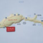
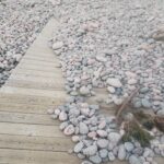
Wednesday, I was checking out and heading to Sydney but went back to the park to hike the Middle Head Trail that was open. This was down the same road as Ingonish Beach and Freshwater Lake Trail which I had walked several times during the week.
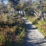
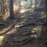
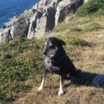
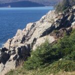
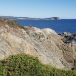
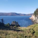
I loved this trail. Marked just 50m of elevation but the path goes up and down, frequently, so you’re climbing those 50m over and over and over. Lots of roots and rocks, too, definitely moderate, not easy like Skyline. You can really see the storm damage here, trees down, cut trees piled on the sides, lots of sawdust and twigs on the path, but very appreciative they worked so hard to get it cleaned up. Amazing views out on the peninsula. Like Skyline, another must do trail, in my opinion.

After finishing Middle Head, we drove just a few miles north to try the Franey Trail. A long steep loop, I did about a kilometer both directions from the parking lot and decided I was done for the day. Steep but wide, I was just being lazy. There were many other trails I wanted to hike, like Acadian, but didn’t save enough time on Tuesday, or they weren’t open yet. I did have great weather, low 60’s and mostly sunny, so perfect for hiking, just bad timing with hurricane damage. Highly recommend the park and the entire peninsula.
** All photos property of Lisa, not to be used or reproduced **



One thought on “Cape Breton Highlands National Park”
Thanks for the article!